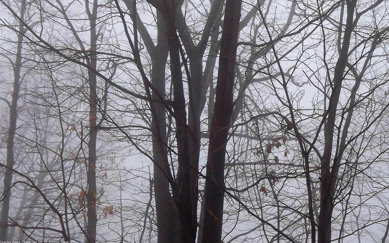
On a wet Wednesday in late March, on a low ridge in the Brecon Beacons called Cefn Cwm Llwch, Astrid Pereira walked four students from a national outdoor education centre along an exposed line of summit cairns. The cloud was on the tops at 650 metres. Visibility was perhaps thirty metres. None of the students used a GPS. Two of them used compasses. The other two did not need to.
The technique she was teaching is the ridgeline handrail. It is one of the oldest navigation methods in the British hill-walking tradition. It is also one of the most consistently misunderstood. Pereira teaches it twice a year on the navigation curriculum at the centre, and she has come to believe that the difficulty is not the technique but the language used to describe it.
A handrail, in navigation terms, is a linear feature that runs along or near the desired line of travel. The walker uses the feature as a continuous reference, the way a child going down stairs in the dark uses the rail. Common handrails are streams, walls, fences, forest edges, lakes, and roads. A ridgeline is also a handrail, and in mountain country it is often the best one available.
What makes a ridgeline a handrail is the topography, not the path. There may or may not be a path on a ridge. The ridge itself, the line where the ground slopes away to both sides, is the feature. As long as the walker can feel the ground falling to the left and the right, the walker is on the ridge.
This is not always obvious. A broad ridge in cloud can feel like flat ground. A narrow ridge with one steep side and one gentle side can feel like the edge of a plateau. The technique requires deliberate attention to the slope on both sides at once, which most walkers do not naturally do. Pereira spends most of her teaching time on the act of attending, not on the act of map-reading.
The technique has three steps. The first is to confirm that the ridge runs in the desired direction. This is done by comparing the ridge's bearing on the map to a compass bearing taken on the ridge itself. If the two agree within ten degrees, the walker is on the right ridge. If they do not, the walker is not.
The second step is to walk the ridge. This sounds tautological but is not. The walker stays on the line of maximum height. When the ground falls away to both sides equally, the walker is on the line. When it falls away more on one side than the other, the walker has drifted off the line and must correct.
The third step is to know when to leave the ridge. This is the part most walkers misjudge. A ridge handrail works only until the desired line of travel diverges from the ridge. At that point the walker must commit to a bearing across open ground, or pick up a new handrail. Walkers who do not plan the departure in advance tend to follow the ridge past their objective and get lost descending the wrong drainage.
On Cefn Cwm Llwch, Pereira's planned departure was a small col at grid reference SO 002 222, where a stream begins on the south side of the ridge. The stream, when found, would become the next handrail, leading down through rough ground to a footbridge and a path back to the road. The departure was three kilometres along the ridge from the start. In the cloud, with no landmark visible, the only way to know the col was the col was to count paces and watch the contours.
Pace counting is the second classical British technique that Pereira teaches in conjunction with handrailing. A walker measures their own pace count over one hundred metres on flat ground and over one hundred metres on a steady uphill, and learns to estimate distance by counting double-paces. Pereira's own count is sixty-three double-paces per hundred metres on level ground, seventy-one going up moderate slopes. She has not changed this count in fifteen years.
Counting paces while attending to the slope on both sides while keeping the compass bearing in mind is not an easy thing to do for the first time. Pereira's students on the Brecon Beacons walk were both at the upper end of their first week of formal navigation training. Two of them lost the ridge twice in three kilometres. Both recoveries were textbook — stop, attend to the slope, identify the higher ground, return to it.
The col at SO 002 222 appeared at the right moment. The ground dropped away to the south, the small stream Pereira had been looking for ran across the line of travel, and the bearing on the compass aligned with the planned descent. The students drank water. The cloud did not lift. The descent was slow and uneventful.
What the technique does, used well, is remove most of the decisions that get walkers lost. There are no junctions on a ridge. There are no false paths on a ridge. There is no choice to be made about which valley to descend until the ridge itself ends. The walker has only to keep on the line and to know when to leave it.
Compared with GPS-led navigation, ridge handrailing is slower and less precise. A GPS will tell a walker where they are within five metres. A ridge handrail tells them only that they are on the ridge. But the GPS depends on satellites, batteries, and a small screen that can be hard to read in rain. The ridge depends on the ground itself, which is always available.
Pereira does not teach against GPS. She teaches with it, and she carries one herself on every trip she leads. What she teaches, she said over tea after the descent, is that navigation is fundamentally a relationship between the walker and the ground, and that any tool which lets the walker stop attending to the ground is a tool that will eventually fail at the worst moment.
The British outdoor education tradition is unusually committed to teaching handrailing as a primary skill. Equivalent programs in the United States, in her experience, tend to lead with compass-and-bearing work and add terrain reading later. The British approach is older, partly because the British hills were navigated for sport before the magnetic compass became universally available, and partly because British weather rewards techniques that work in cloud.
The students that day were tired and quiet when they reached the car park at Cwm Llwch. They had walked perhaps six kilometres. It had taken three hours. None of them had been lost in any meaningful sense, but two of them had been briefly unsure of their location, and both had recovered without prompting. That, Pereira said, was the lesson.
On the drive back to the centre at Plas y Brenin, the cloud lifted off the tops. The students looked out the windows at the ridges they had walked in cloud and saw, for the first time, the shapes they had been walking on. Pereira did not comment. She has learned not to. The lesson, she said later, is in the legs, not in the eyes.