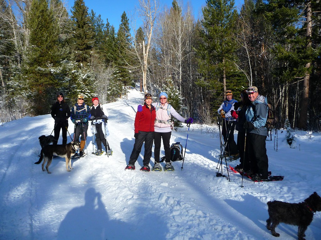
On a clear morning in early May, on a small unnamed ridge above the Sellrain valley in the Stubai Alps, Tomas Lendvai followed a downloaded GPX track for two and a half kilometres before he realised that the track was almost useless. The track described a line. It did not describe the route.
The GPX file format, developed in 2002 by a small American software company and made an open standard the following year, has become in two decades the universal currency of digital route sharing. A GPX file is a list of geographic coordinates, optionally with elevation and timestamps, wrapped in a lightweight XML schema. It can be exported by almost any GPS device or smartphone app and read by almost any other. It has, with very little fanfare, replaced the printed route description as the primary medium of route information for hikers, climbers, runners, and cyclists.
What the GPX format is excellent at is geometry. It tells the user, with high precision, where the original recorder was at each moment of their movement. Used carefully, it allows another user to follow that movement with comparable precision. For straightforward routes on well-trodden ground, this is enough. For most other routes, it is not.
Consider the route Lendvai was following. The track had been recorded by a user on the OpenStreetMap-affiliated platform Komoot in September 2024 and described as a moderate alpine walk. The geometry of the track was accurate. Lendvai's GPS, following the recorded line, placed him on the correct ridge throughout. The track did not, however, tell him that the line crossed a small unprotected step at 2,140 metres that, in the wet conditions that morning, was awkward and exposed.
It also did not tell him that the line descended into a small bowl that, in early May, still held a snowfield long enough to require careful kick-stepping. It did not tell him that the path braided three ways at a small col and that the southerly branch, which the GPX track followed, led to a section that had been closed by the local alpine club after a rockfall in 2023.
All of this would have been clear in a good written route description. The Austrian Alpine Club's published guidebook for the Sellrain valley, for instance, devotes a paragraph to the step, a sentence to the snowfield, and a footnote to the rockfall closure. The GPX file said nothing.
This is not a defect of GPX as a format. It is a feature of what the format is designed to do. A GPX file is a geometric record, not a description. The user of the file is meant to bring their own judgement to what the geometry implies. The trouble is that most users do not, because the file's apparent precision invites the user to treat it as comprehensive.
The conventions for adding non-geometric information to GPX files are weak. The schema allows for waypoints with names and descriptions, but most exporting tools do not generate useful waypoints automatically, and most users do not add them manually. The schema allows for a route description in a comment field, but the field is rarely used and most reading tools display it inconsistently if at all.
Some platforms have added their own metadata layers above GPX. Komoot, Strava, AllTrails, and others maintain photo-stamped waypoints, written tips contributed by users, and difficulty ratings derived from algorithms applied to the underlying geometry. These additions help, but they are platform-specific. The GPX file itself, exported from any of these platforms, carries only the bare geometry. The platform-specific layers do not travel with the file.
What this means in practice is that a hiker who downloads a GPX file from one platform and follows it on a different device is following the geometry without the context. The hiker may have the ridgeline correct and the difficulty wrong. The hiker may have the trail correct and the seasonal hazards unknown. The hiker may have, as Lendvai had that morning, an accurate line through terrain that the recorder navigated easily and that a follower, in different conditions, should not have entered without preparation.
There is, as a corrective, the older tradition of the written route description. The Alpine Club guidebooks, the Sierra Club guides, the Pacific Crest Trail Association's data book, and the Cicerone series in Britain all maintain the practice of describing routes in prose. A good written description tells the reader where to turn, what to look for, what to avoid, and what to do if conditions are not as expected. It also tells the reader, by what it chooses to emphasise, what kind of route this is.
A written description is, in this sense, an interpretation. The author has walked the route and has decided what is worth mentioning. The reader receives, with the geometry, the author's judgement. The judgement is fallible. It can be out of date. It can reflect the author's particular fears or strengths. But it exists, and the reader can weigh it.
The GPX track has no judgement. The recorder's silence about the difficult step is indistinguishable from the recorder's having found the step easy. The recorder's silence about the snowfield is indistinguishable from the snowfield not having been there in September. The reader must supply the missing judgement, and most readers, lacking the original information, supply too little.
Lendvai is not arguing against GPX. He uses GPX himself, daily, for both work and his own walks. He keeps a folder of three thousand tracks accumulated over fifteen years and consults it regularly. What he argues against is the substitution of the file for the description. The two are different documents. They serve different purposes. The file describes a line. The description describes a route.
There are practical steps a hiker can take. The first is to read a written description in addition to following the track, when one exists. The Austrian Alpine Club, the Sierra Club, the Cicerone guides, and a number of regional clubs publish digital descriptions that can be read on a phone in the field. The second is to look at the track on a real topographic map, not just on a satellite image, and to attend to what the contours imply about steepness, exposure, and seasonal hazard.
The third is to add description to GPX files one shares oneself. Adding a few waypoints with notes — water source here, exposed step at 2,140 m, snowfield possible in early season — costs the recorder five minutes and improves the file's usefulness considerably. Lendvai does this with most of the tracks he records. The convention is uncommon. He thinks it should be normal.
On the Sellrain ridge that morning, Lendvai reached the difficult step, looked at it, looked at the wet rock, and turned around. He walked back to the col and took a different line down, through grass and scree, that brought him to the valley a kilometre east of where the track had ended. He arrived at the inn at Praxmar two hours later than planned, ate a late lunch, and made a note in his trail journal.
The note read, in part: the file does not know what it does not know. Treat it as one source. Read the description. Look at the map. Trust the ground. The note was for himself. He has written some version of it many times before.