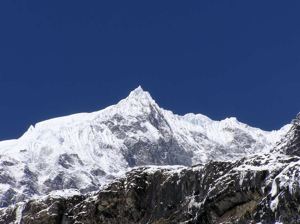
At the Stewart's Crossing trailhead in the Mission Mountains, on the morning of May 9, the thermometer on a parked truck read fourteen degrees Celsius. Three hours and 1,100 metres of elevation later, at a saddle below McDonald Peak, the same walker's thermometer read four. The drop was not unusual. It was almost exactly what the textbook predicts.
The relationship between elevation and air temperature is one of the more reliable things in mountain meteorology. It has a name, the environmental lapse rate, and a default value that trail walkers can use almost everywhere on Earth as a first approximation.
The standard environmental lapse rate is approximately 6.5 degrees Celsius per 1,000 metres of elevation, or about 3.5 degrees Fahrenheit per 1,000 feet. This is an average across many measurements and many conditions, and the actual rate on any given day can differ. But for trip planning, the standard rate is close enough to be useful.
The arithmetic is worth doing at the trailhead. A walker setting off at 800 metres with an air temperature of fifteen degrees, planning to reach a summit at 2,800 metres, can expect a summit temperature of approximately fifteen minus thirteen, or two degrees. That is before wind chill. That is in still air.
The wind on the summit, at the same temperature, can make the felt temperature substantially lower. A ten-knot wind at two degrees feels like roughly minus three on exposed skin. A twenty-knot wind at the same temperature feels like minus seven. A walker dressed for fifteen at the trailhead is dressed for the wrong day.
The standard lapse rate is the environmental lapse rate. There are two other rates that matter for understanding mountain weather, though trail walkers rarely need to calculate with them.
The first is the dry adiabatic lapse rate, approximately 9.8 degrees Celsius per kilometre, which is the rate at which a parcel of unsaturated air cools as it rises. The second is the moist adiabatic lapse rate, approximately 5 degrees Celsius per kilometre, which is the rate for saturated air. The difference between the two is the heat released when water vapor condenses, and it is the engine that drives thunderstorms.
For trip planning, the environmental lapse rate is the one to use. The adiabatic rates explain why clouds form where they do; they are not directly useful for predicting how cold the summit will be.
There are conditions under which the environmental lapse rate does not hold. The most common is the temperature inversion, in which cold air pools in a valley overnight and the air above is warmer than the air below. On a clear, calm morning, a walker leaving a valley at minus three may climb into air that is plus two at the ridge. This is a normal feature of mountain valleys in winter and shoulder season, and a useful one: it explains why early starts in some ranges are unexpectedly mild above the inversion layer.
Inversions break up when the sun heats the valley floor enough to mix the air column. By noon on most days, the standard lapse rate has reasserted itself.
A second exception is the foehn, in which air descending the lee side of a range warms adiabatically and produces conditions much warmer than the elevation would predict. The Chinook in the Rockies, the Foehn in the Alps, and the Helm Wind in northern England are all examples. On a foehn day, a leeward valley can be twenty degrees warmer than its altitude suggests, and a walker dressed for the standard lapse rate will be overdressed.
These exceptions matter less for the practical question of what to pack than for the practical question of what to expect. A walker who packs for the standard lapse rate will rarely be dangerously underdressed. A walker who reads the air temperature at the trailhead and assumes it will hold at altitude will be reliably wrong.
Some rules of thumb are worth memorising.
Every 150 metres of climb is roughly one degree Celsius of cooling. A walker can sense temperature changes of a degree or two; this means that even modest climbs of 500 metres produce a noticeable change in the feel of the air.
The freezing level moves up and down with the seasons and with the day. In a temperate-zone summer, the freezing level is typically between 3,500 and 4,500 metres in clear weather. In winter it can drop below 1,000 metres in the same range. The freezing level is reported in most mountain-area weather forecasts; for an overnight trip, it is a more useful number than the surface temperature.
Rain at the trailhead can be snow at the summit. A walker setting off in a cold drizzle at 1,200 metres in October may reach 2,400 metres and find six centimetres of new snow on the rocks. The transition zone, the freezing level, is often within the route's elevation range, and crossing it is a navigational event as well as a meteorological one.
Cloud height is approximately the freezing level on many summer days. The base of a cumulus cloud forms at the height at which rising parcels of air first cool to the dewpoint. In summer, in convective weather, this often coincides closely with the freezing level. A walker who can see the cloud base can estimate the freezing level by eye.
Lapse rate is one of the few pieces of meteorology that can be reliably applied with a paper map, a thermometer, and elementary arithmetic. It rewards the small habit of doing the calculation before leaving the car. It rewards even more the larger habit of trusting the calculation when the air at the trailhead is mild and the summit is still hours away.
Wendell Foss carries a thin notebook in the lid of his pack. The first page, in pencil, reads: 6.5 per 1,000. He has not had to rewrite it.
Filed under